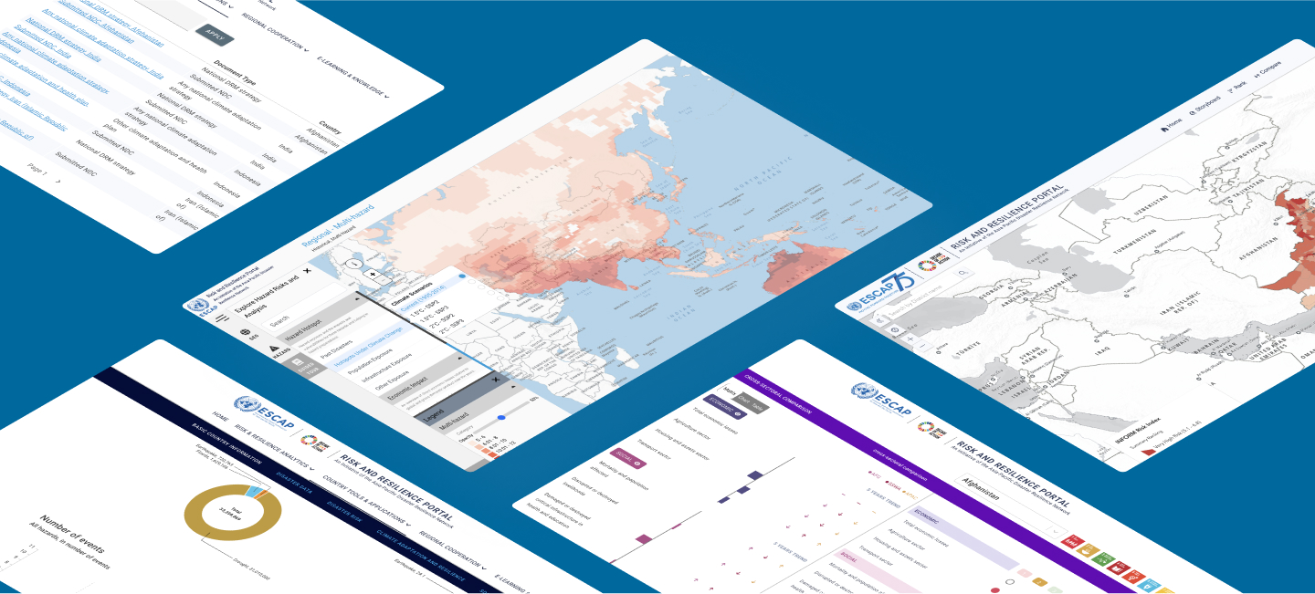
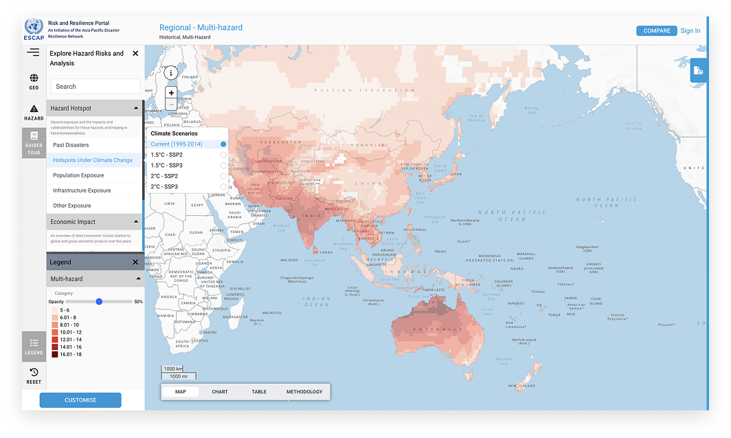
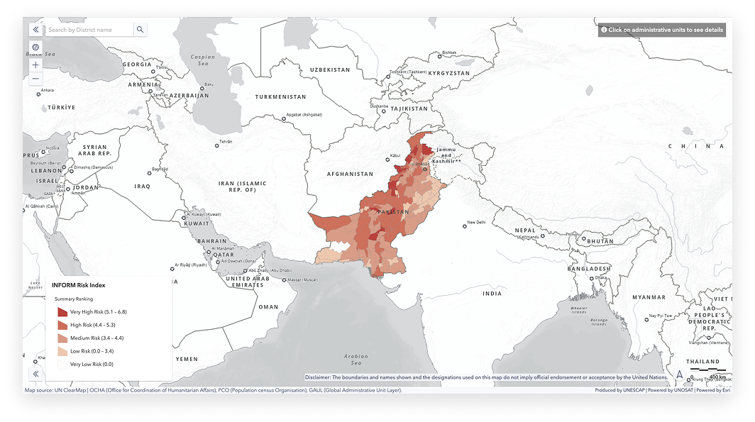
Integrated Data Explorer
A powerful GIS-based platform that provides comprehensive mapping of climate risks, hazards, and impacts across the Asia-Pacific region.
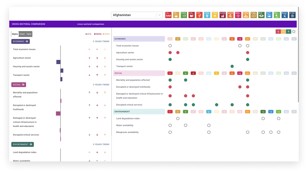
Country Profiles
Comprehensive disaster and climate profiles for countries across the Asia-Pacific region, providing an in-depth understanding of vulnerabilities, risks, and adaptation opportunities.
View Country Profiles
Integrated Sector Analytics
Explore how disasters and climate risks impact critical sectors such as Agriculture and Energy in pilot countries. Leverages sector contextualized geospatial data and advanced analytics to identify disaster and climate vulnerabilities and evaluate risks under climate scenarios.

Early Warning for All
See our efforts in advancing early warning systems to save lives and reduce disaster risks for EW4All Pilot countries. A key feature is the Automated Impact-Based Forecasting (IBF) Tool uses machine learning to transform seasonal forecast data into actionable early warning by automating impact-based forecasts in minutes- ensuring faster and smarter forecasting.
Automated Impact-based Forecasting Tool
Winner of the 2024 ESCAP Innovation award, the Automated Impact-Based Forecasting (IBF) Tool uses machine learning to transform seasonal forecast data into actionable early warning by automating impact-based forecasts in minutes- ensuring faster and smarter forecasting.

Climawise: AI-Powered Climate Adaptation Tool
Winner of the 2023 ESCAP Innovation Award, an AI and machine learning powered tool designed to transform climate adaptation planning. An interactive map connects geophysical and social risk factors with successful global adaptation case studies for countries.
Resilience SDG Tracker (RSAT)
Dynamically monitors and tracks the disaster and climate related SDG targets and indicators available in the ESCAP SDG Gateway.
Story Maps
Explore the interconnected challenges of transboundary hazards through dynamic and interactive storymaps. From river basin floods and cross-border droughts to cascading risks amplified by climate change, these storymaps reveal how hazards transcend borders.
Exposure in climate change hotspots
Downscaling Methodology
Economic Impact
Impact based forecasting
ClimaWise