
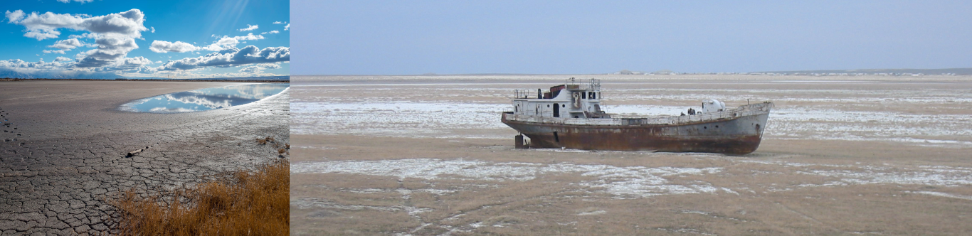
Climate change impact scenarios in the Aral Sea
Sub-regional pathways for adaptation and resilience
How drought will be more frequent, intensified and prolonged?
This section explains the climate projection related to drought under SSP2 and SSP3 near and long-term scenarios. There are three drought-related climate indicators namely temperature rise, increase in number of dry days, and decrease in precipitation during dry months.
The region will experience decreased precipitation throughout most of the year. However, during high precipitation season between December and February, there will be an increase in rainfall.
The next section explains projections of climate under SSP2 and SSP3 near and long-term scenarios. There are four climate indicators namely temperature rise, increase in number of dry days, decrease in precipitation during dry months, and increase in precipitation during the wet months.
What are the projected changes and impacts due to climate change?
Analytical framework for climate change study of Aral Sea
To assess the agriculture land exposure to climate and environmental risk, a framework was developed using various data and models. Datasets from NASA Earth observation data, the ASTER Global Digital Elevation Model (GDEM) at 30-metres resolution, WorldPop spatial demographic data, and Consultative Group on International Agricultural Research (CGIAR) are used for the Aral sea.

Earth observation
NASA GFSAD 1. cropland 2. Crop types
Digital elevation model
ASTER GDEM, 2018
ASTER Global Water Body Dataset (ASTWBD), 2018.

Climate projection model
CMIP6, 2021

Aridity
CGIAR, 2019

Spatial analysis
ArcMap and QGIS

3D modeling
ArcGIS Pro

Analysis
MS Excel

Cygwin
Command line windows

WorldPoP
Spatial demographic data
Where are the risk hotspots located?
What are the strategies for climate change adaptation in the Aral Sea?
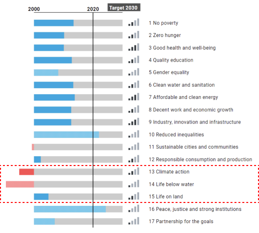
SDG progress and resilience of North and Central Asia
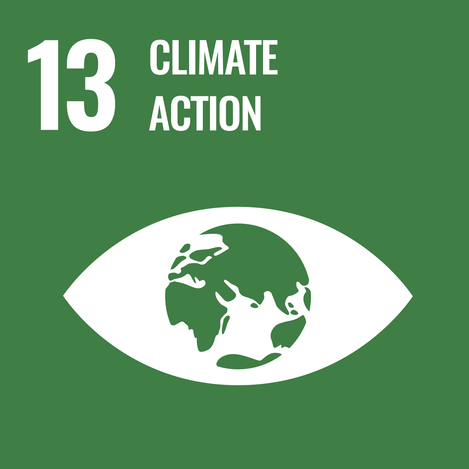
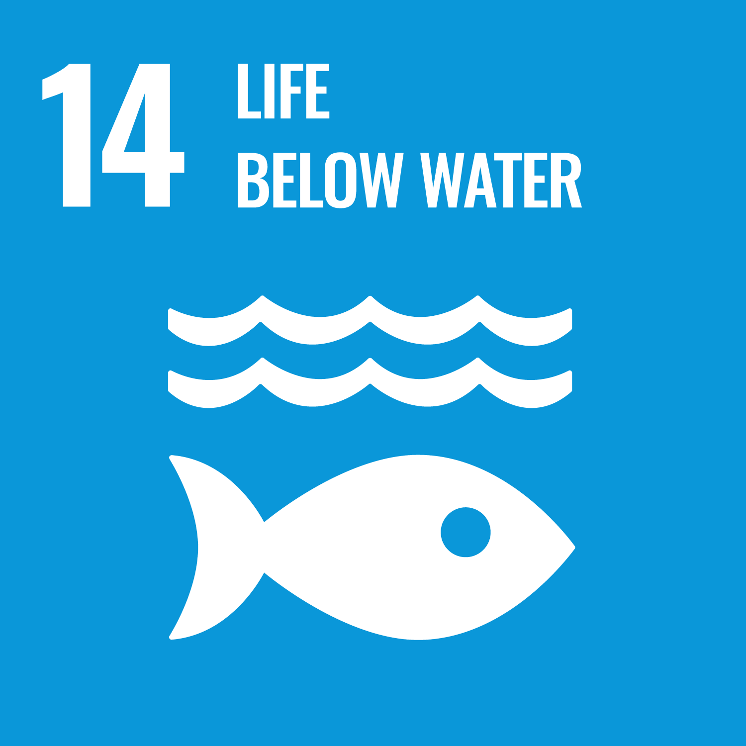
The graph shows the progress towards achieving SDGs in North and Central Asia. Since Goal 13, 14 and 15 are significantly related to the Aral Sea catastrophe, more efforts are needed to meet the targets for these goals.
Regressing trends linked with the Aral Sea catastrophe
Managing climate risk, natural resoures
Strengthen resilience and adaptative capacity of climate related disasters
Protect and restore ecosystems
Reduce marine pollution
Combat desertification, and halt and reverse land degradation, Bio-diversity conservation
Source: ESCAP SDG Progress 2022
Restoration of Aral Sea holds the key for achieving SDGs in Central Asia
Here are the five key adaptation strategies for the transboundary hazard of the Aral Sea. Among five strategies, multi-hazard risk assessment and early warning system is useful in mitigating cropland exposure to multi-hazard, particularly drought and flood. Early warning monitoring is also necessary to plan and reduce the impact of multi-hazard on agriculture and people.
Towards a sub-regional cooperation mechanism
01
The key indicators of climate change in Central Asia is the state of glaciers and snow cover, as well as growing desertification in the region.
02
Floods will be more severe and prolonged, and droughts will be more frequent and lengthier.
03
In this context, adaptation measures must integrate climate change scenarios into long-term plans, programs at all administrative levels.
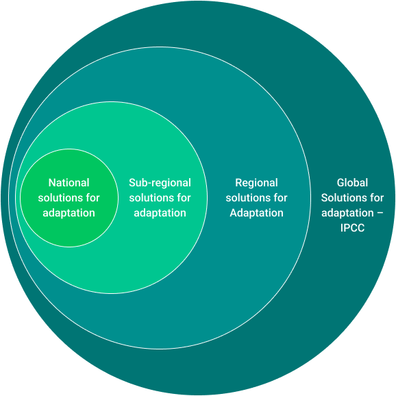
What are the solutions for climate change adaptation in the Aral Sea?
The figure depicts solutions for climate change adaptation and disaster risk reduction in the Aral Sea. Sub-regional cooperation, national adaptation measures that include transboundary risks as well as sectoral development work are required.
Sub-regional solutions
Joint climate change adaptation measures through regional cooperation among the Aral Sea Basin countries
National Adaptation Plan that includes transboundary risks
- National DRR strategies
- Voluntary National Review
- Nationally Determined Contributions
Sectors (Agriculture, Water, Energy, and others)
to include transboundary risks
Full report
- The Aral Sea, Central Asian Countries and Climate Change in the 21st Century
- Managing in-land water disasters in the Aral Sea: sub-regional pathways for adaptation and resilience.
- Managing in-land water disasters in the Aral Sea: sub-regional pathways for adaptation and resilience. Summary of Key Results.
 Kazakhstan
 Kyrgyzstan
 Tajikistan
 Turkmenistan
 Uzbekistan