

Risk Atlas
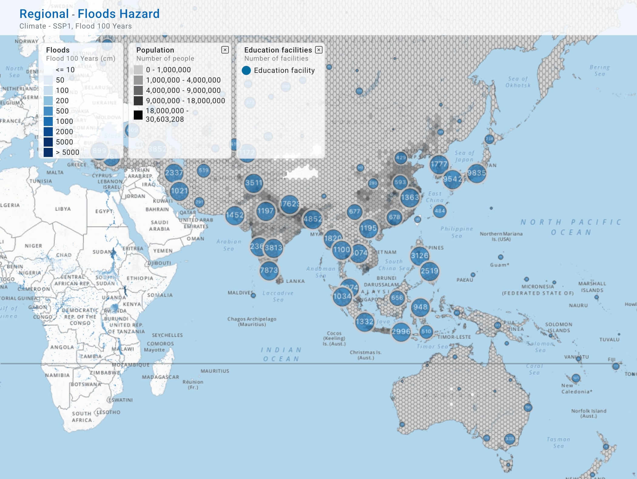
GIS Mapping platform with downscaled climate, hazard and impact data.

RapidIBF
Automated impact-based forecasting for planning windows at seasonal scale.
IBF Offline Plugin
ESCAP IBF Next impact-based forecasting plugin for QGIS, for offline use.
SATGPT
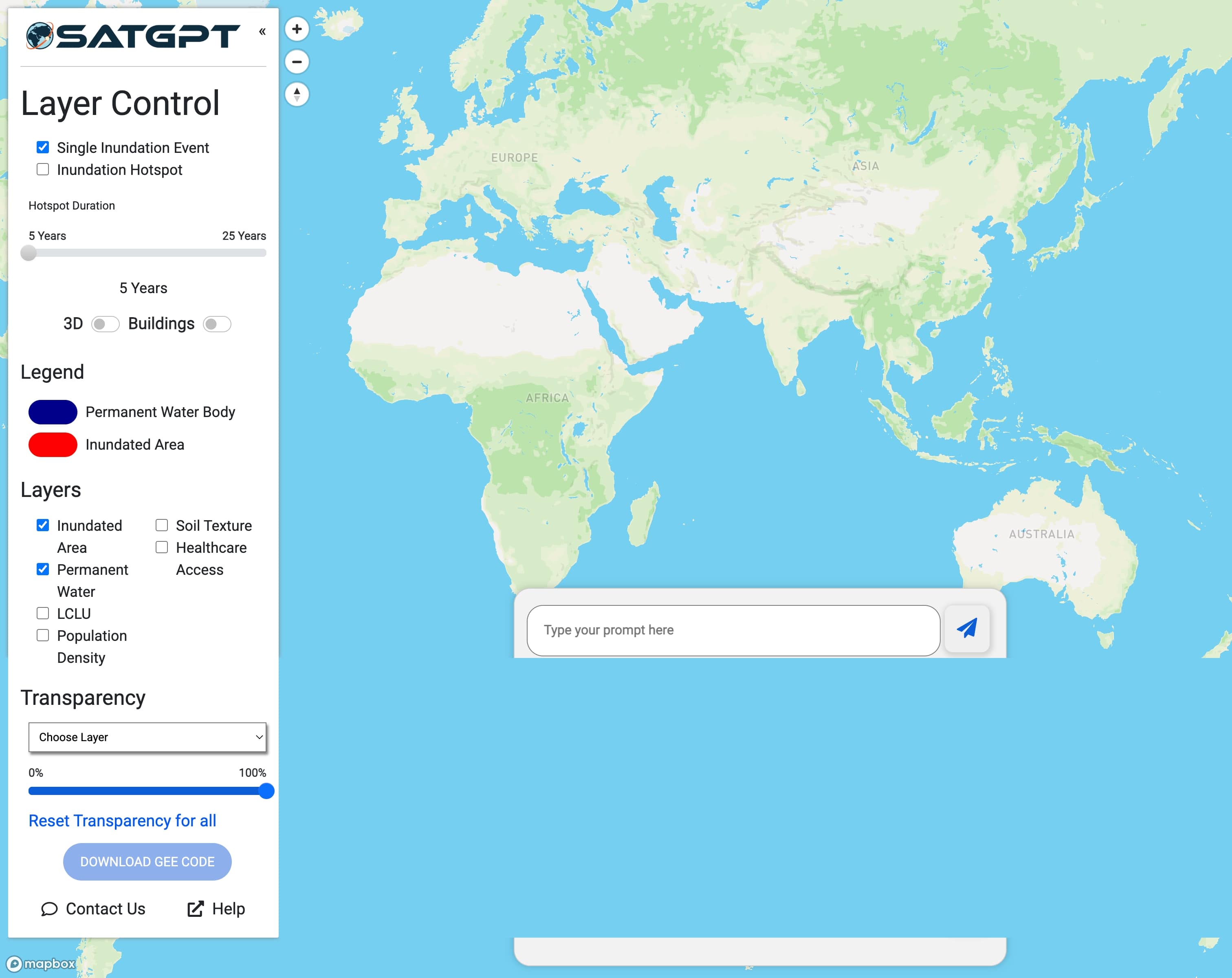
SatGPT is an innovative solution that integrates Large Language Models (LLMs), cloud computing platforms, and Earth observation data for flood hotspot mapping. SatGPT represents a fully functional, next-generation spatial decision support system designed for rapid deployment, particularly in resource-limited contexts.
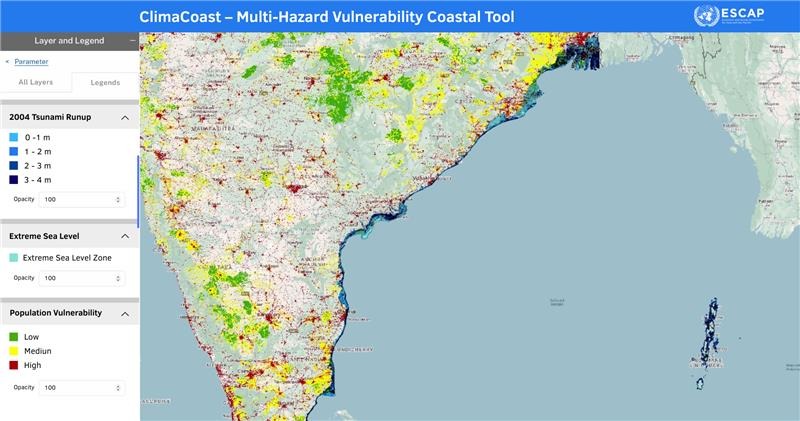
ClimaCoast
 Multi-Hazard Vulnerability Coastal Tool integrates tsunami, sea-level rise, storm surge, and other ocean-related hazards with exposure and vulnerability layers to pinpoint shoreline hotspots and guide actionable resilience planning.
Aral Sea
Building cooperation for climate adaptation in the Aral Sea basin.
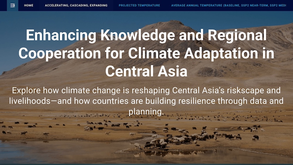
Central Asia
Enhancing knowledge and regional cooperation for climate adaptation in Central Asia.
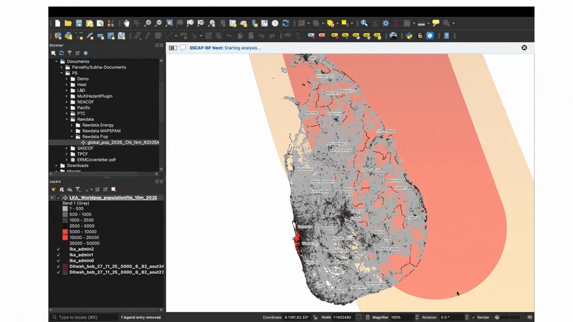
Impact-Based Forecasting
From weather forecasts to early action: how impact-based forecasting turns climate information into practical, sector-relevant guidance.
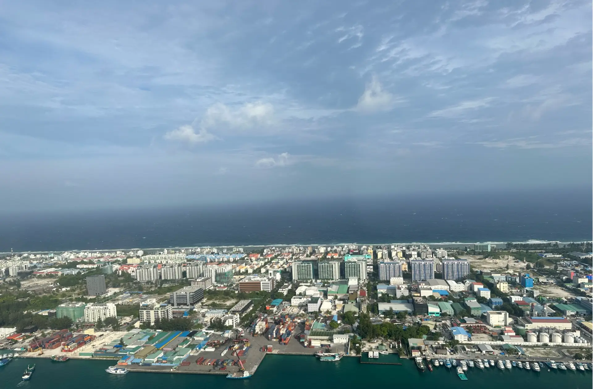
CARA Coastal Storyboard
From coastal risk to resilience in Asia and the Pacific.